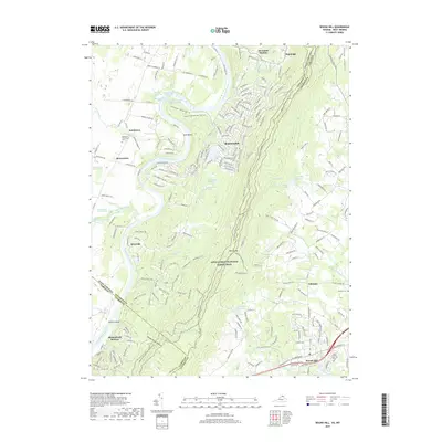
2019 Map of Round Hill
USGS Topo · Published 2019About this map
The Shenandoah River snakes through the landscape at Avon Bend, defining the border between West Virginia and Virginia. This region is characterized by its historic spring sites, including Shannondale Red Sulphur Spring and Shannondale Blue Sulphur Spring, which point to the area's long-standing legacy as a destination for mineral waters. Along the eastern ridge, the Appalachian National Scenic Trail follows the crest of the mountain, crossing Wilson Gap and overlooking the Loudoun Valley.
Find a feature on this map
235 named features on this map. Tap any name to fly to it.
Don’t see what you’re looking for? This feature index may not catch every label — zoom into the map to look around manually.
Map Details
Editions of this 2019 Round Hill Map
This is the sole edition of this map. No revisions or reprints were ever made.
Other maps of this area

1884 · Harpers Ferry
USGS Topo · 1:125,000

1891 · Harpers Ferry
USGS Topo · 1:125,000

1893 · Harpers Ferry
USGS Topo · 1:125,000

1908 · Middletown
USGS Topo · 1:48,000

1910 · Antietam
USGS Topo · 1:62,500

1914 · Martinsburg
USGS Topo · 1:48,000

1916 · Martinsburg
USGS Topo · 1:62,500

1916 · Berryville
USGS Topo · 1:62,500

1939 · Berryville
USGS Topo · 1:48,000

1943 · Bluemont
USGS Topo · 1:24,000