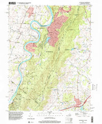
2022 Map of Round Hill
USGS Topo · Published 2022About this map
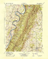
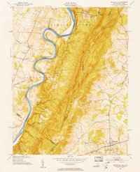
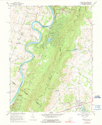
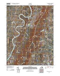
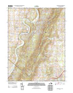
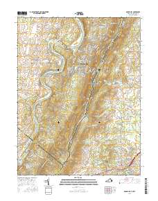
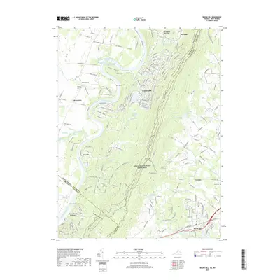
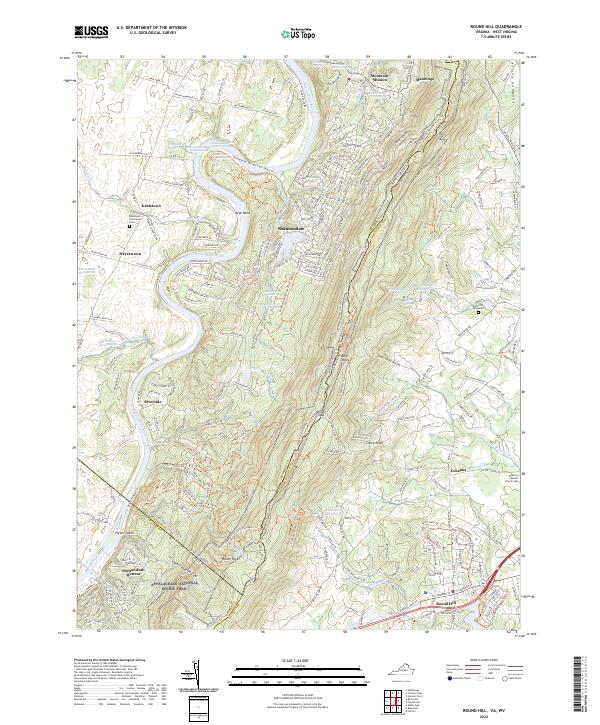
Avon Bend and the winding Shenandoah River anchor this survey of the borderlands between West Virginia and Virginia. The landscape is defined by the steep rise of the Blue Ridge, where the Appalachian National Scenic Trail traverses high points like Raven Rocks and crosses through Wilson Gap. This area serves as a significant hydrographic hub, documented by numerous named water sources including Shannondale Blue Sulphur Spring and several others clustered near the settlement of Shannondale.
Find a feature on this map
249 named features on this map. Tap any name to fly to it.
Don’t see what you’re looking for? This feature index may not catch every label — zoom into the map to look around manually.
Map Details
Editions of this 2022 Round Hill Map
This is the sole edition of this map. No revisions or reprints were ever made.
Historical Maps of Shannondale Through Time
9 maps found