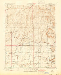
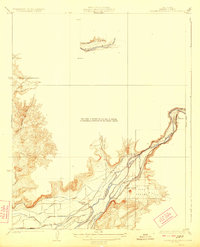
1922 Map of Round Mountain
USGS Topo · Published 1944About this map
Redbank Cemetery and several community hubs anchor this rural landscape east of Fresno in the early 1920s. The map illustrates a transitional zone where the foothills of the Sierra Nevada meet the irrigated valley floor, dominated by the prominent elevation of Round Mountain. An intricate network of water management features, including the Enterprise Canal, Stoughton Ditch, and Fresno East Branch Canal, reveals the area's intensive agricultural development. Transportation corridors like the Fresno and Tollhouse Road and the Fresno Interurban rail line provided essential links between remote hill country and urban markets. The placement of local institutions such as Redbank School, Gray Colony School, and Lindsay School reflects a well-established rural social structure during this period of California's Central Valley expansion.
Find a feature on this map
38 named features on this map. Tap any name to fly to it.
Don’t see what you’re looking for? This feature index may not catch every label — zoom into the map to look around manually.
Map Details
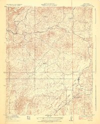
Editions of this 1922 Round Mountain Map
2 editions found
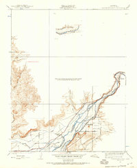
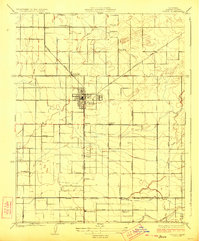
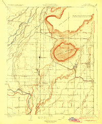
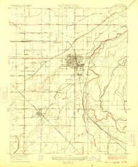
Other maps of this area
1920 · Orangedale School
USGS Topo · 1:24,000
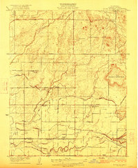
1922 · Round Mountain
USGS Topo · 1:31,680

1922 · Trimmer
USGS Topo · 1:96,000

1922 · Friant
USGS Topo · 1:31,680

1923 · Malaga
USGS Topo · 1:31,680
1923 · Academy
USGS Topo · 1:31,680
1923 · Orangedale School
USGS Topo · 1:31,680
1923 · Clovis
USGS Topo · 1:31,680
1923 · Wahtoke
USGS Topo · 1:31,680
1923 · Sanger
USGS Topo · 1:31,680