
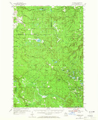
1954 Map of Rousseau
USGS Topo · Published 1956About this map
Ottawa National Forest blankets this section of the Upper Peninsula, where the timber and rail industries shaped the local geography in the mid-1950s. The landscape is a complex network of waterways, including the West Branch Firesteel River and the Onion River, alongside numerous small lakes like Bob Lake and the curiously named Sudden Lake and Very Sudden Pond. Human presence is marked by small settlements such as Rousseau and Pori, the latter situated near a prominent Water Tank.
Find a feature on this map
72 named features on this map. Tap any name to fly to it.
Don’t see what you’re looking for? This feature index may not catch every label — zoom into the map to look around manually.
Map Details
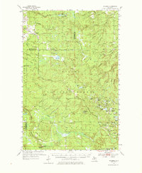
Editions of this 1954 Rousseau Map
3 editions found
Other maps of this area

1895 · Perch Lake
USGS Topo · 1:62,500

1949 · Rockland
USGS Topo · 1:62,500

1950 · Greenland
USGS Topo · 1:62,500

1951 · Rockland
USGS Topo · 1:62,500

1951 · Greenland
USGS Topo · 1:62,500

1952 · Watersmeet
USGS Topo · 1:62,500

1954 · Kenton
USGS Topo · 1:62,500

1954 · Perch Lake
USGS Topo · 1:62,500

1954 · Pelkie
USGS Topo · 1:62,500

1954 · Winona
USGS Topo · 1:62,500