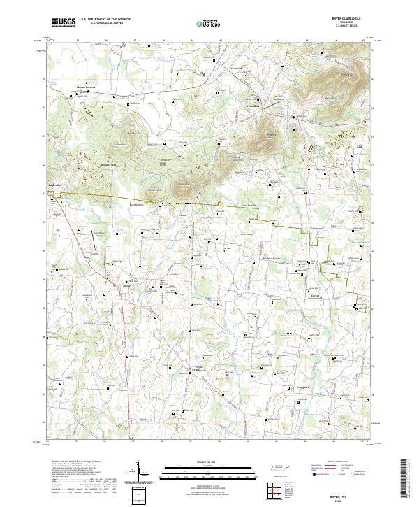
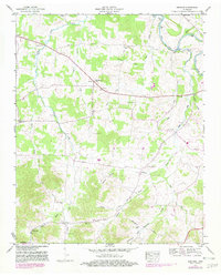
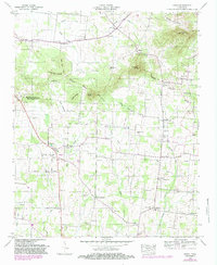
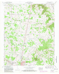
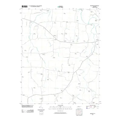
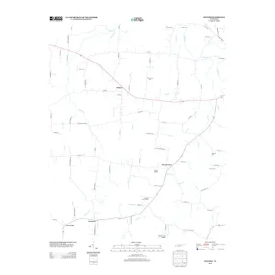
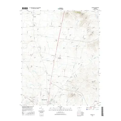
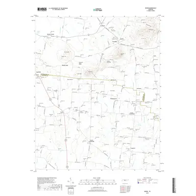
2022 Map of Rover
USGS Topo · Published 2022About this map
Versailles and Rover anchor this region of central Tennessee, situated along the Rutherford Co Bedford Co line. The landscape is defined by the Tennessee Valley Divide, where numerous knobs and hills like Bett Ray Hill and Brady Knob rise above the surrounding valleys. Genealogists will find a high density of family burial sites, including the Taylor Cem, Nance Cem, and Smotherman Cem, reflecting generations of rural settlement. The presence of both the Versailles Aerodrome and Hawk Haven Airfield highlights a modern layer of aviation use amidst a legacy of farming and local commerce. Water features such as Weakly Cr and the Harpeth River drain these uplands, while landmarks like Maxwell Chapel and the Bunker Hill Sch serve as community touchstones for the small crossroads of Newtown and Longview.
Find a feature on this map
186 named features on this map. Tap any name to fly to it.
Don’t see what you’re looking for? This feature index may not catch every label — zoom into the map to look around manually.
Map Details
Editions of this 2022 Rover Map
This is the sole edition of this map. No revisions or reprints were ever made.
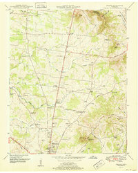
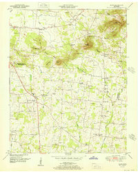
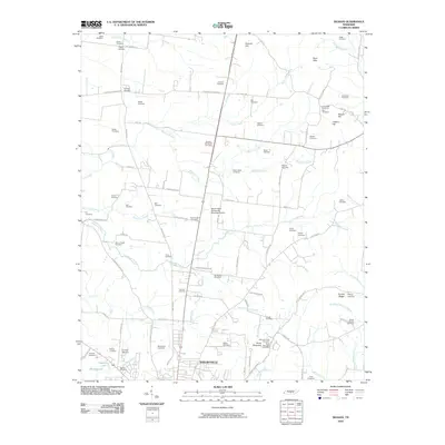
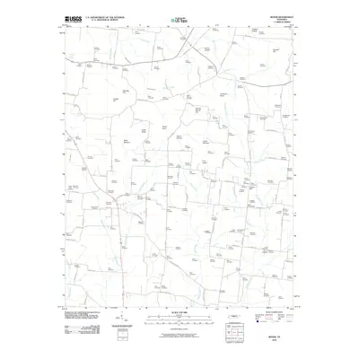
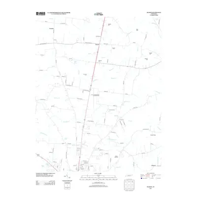
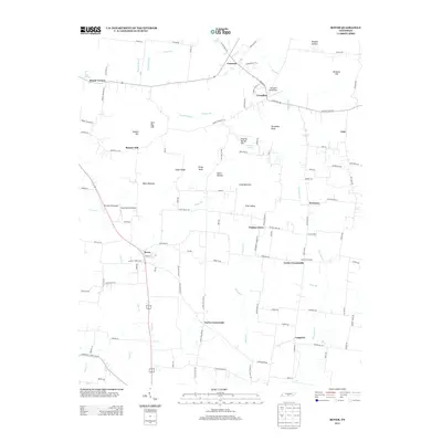
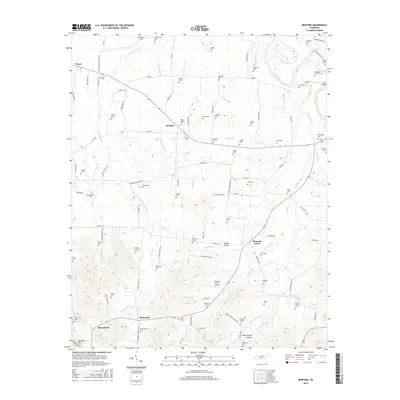
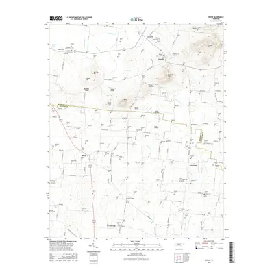
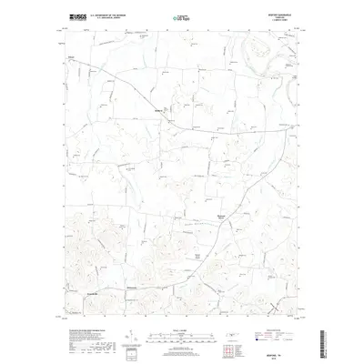
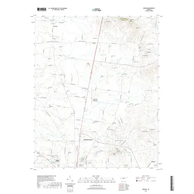
Historical Maps of Eagleville Through Time
23 maps found
1936 Bedford
Bedford County, TN
1936 Deason
Bedford County, TN
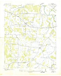
1936 Rover
Bedford County, TN
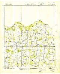
1947 Bedford
Bedford County, TN
1949 Rover
Bedford County, TN
1951 Deason
Bedford County, TN
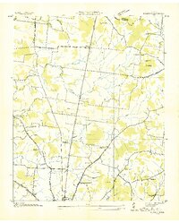
1951 Rover
Bedford County, TN
1966 Deason
Bedford County, TN
2010 Bedford
Bedford County, TN
2010 Deason
Bedford County, TN
2010 Rover
Bedford County, TN
2013 Bedford
Bedford County, TN
2013 Deason
Bedford County, TN
2013 Rover
Bedford County, TN
2016 Bedford
Bedford County, TN
2016 Deason
Bedford County, TN
2016 Rover
Bedford County, TN
2019 Bedford
Bedford County, TN
2019 Deason
Bedford County, TN
2019 Rover
Bedford County, TN
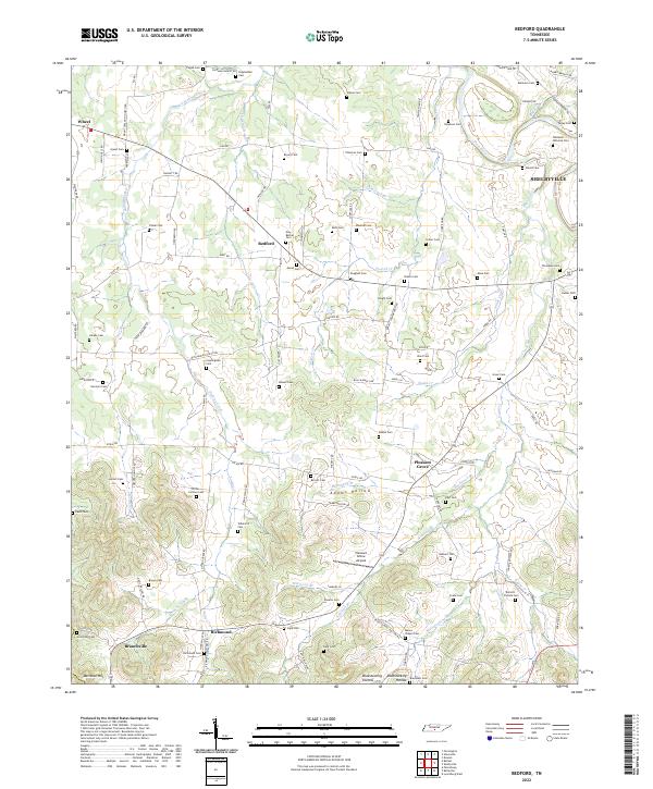
2022 Bedford
Bedford County, TN
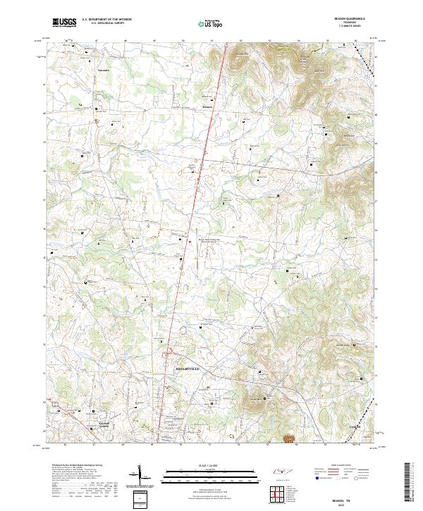
2022 Deason
Bedford County, TN
2022 Rover
Bedford County, TN