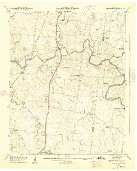
1947 Map of Farmington
USGS Topo · Published 1948About this map
Wilhoite Mills and the surrounding farmland of Marshall County are defined by the meandering course of the Duck River and its numerous crossings. The Louisville and Nashville RR cuts a north-south line through the center of this 1947 survey, passing near Smyrna and the rural crossroads of Farmington near Big Spring. The landscape is heavily marked by family history and community life, featuring an exceptional density of small burying grounds such as Wilhoite Cem, Mc Quiddy Cem, and Darnell Cem. River navigation and local travel are emphasized by specific river mile markers and named crossings like White Ford and Shearin Ford. This era shows a well-established network of country churches like Bethbirei Ch and rural education centers such as Haskins Chapel School, capturing the social geography of Middle Tennessee before modern highway developments altered these local connections.
Find a feature on this map
57 named features on this map. Tap any name to fly to it.
Don’t see what you’re looking for? This feature index may not catch every label — zoom into the map to look around manually.
Map Details
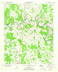
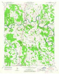
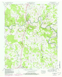
Editions of this 1947 Farmington Map
4 editions found
Other maps of this area

1936 · Chapel Hill
USGS Topo · 1:24,000

1936 · Farmington
USGS Topo · 1:24,000

1936 · Rover
USGS Topo · 1:24,000

1936 · Belfast
USGS Topo · 1:24,000

1936 · Lewisburg
USGS Topo · 1:24,000

1936 · Verona
USGS Topo · 1:24,000

1936 · Rally Hill
USGS Topo · 1:24,000

1936 · Unionville
USGS Topo · 1:24,000

1936 · Bedford
USGS Topo · 1:24,000

1944 · Shelbyville
USGS Topo · 1:100,000