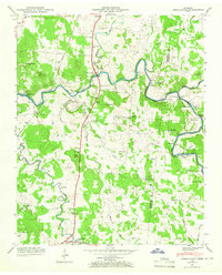
1947 Map of Farmington
USGS Topo · Published 1965About this map
Wilhoite Mills and the community of Smyrna anchor the center of this Marshall County landscape, where the Duck River winds through fertile valley lands. The topography is defined by the river's deep meanders and several crossings, including Hopkins Bridge and the Fishing Ford Road further east. The Louisville and Nashville railroad runs north-to-south, paralleling the Nashville Road through the town of Farmington near Big Spring. This post-war period survey captures an agricultural society still heavily centered on local institutions, evidenced by the numerous family burial grounds like Wilhoite Cem and Mc Quiddy Cem, alongside rural education centers such as O'Neal Sch and Haskins Chapel School. The survey reflects a transition as the Tennessee Valley Authority documented the region's river systems and topography from aerial photography.
Find a feature on this map
47 named features on this map. Tap any name to fly to it.
Don’t see what you’re looking for? This feature index may not catch every label — zoom into the map to look around manually.
Map Details
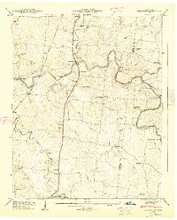
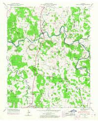
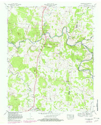
Editions of this 1947 Farmington Map
4 editions found
Other maps of this area

1936 · Chapel Hill
USGS Topo · 1:24,000

1936 · Farmington
USGS Topo · 1:24,000

1936 · Rover
USGS Topo · 1:24,000

1936 · Belfast
USGS Topo · 1:24,000

1936 · Lewisburg
USGS Topo · 1:24,000

1936 · Verona
USGS Topo · 1:24,000

1936 · Rally Hill
USGS Topo · 1:24,000

1936 · Unionville
USGS Topo · 1:24,000

1936 · Bedford
USGS Topo · 1:24,000

1944 · Shelbyville
USGS Topo · 1:100,000