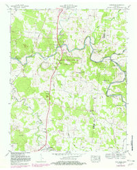
1947 Map of Farmington
USGS Topo · Published 1982About this map
The Duck River winds through the heart of Marshall County, defining a landscape of agricultural valleys and river crossings like Shearin Ford and White Ford. Along its banks, the established grounds of Henry Horton State Park include a Golf Course and Swimming Pool, while the nearby Wilhoite Mills reflects the area's earlier water-powered industry. The Louisville and Nashville railroad runs north-south, connecting the community of Chapel Hill in the north to Farmington at the southern edge of the sheet.
Find a feature on this map
54 named features on this map. Tap any name to fly to it.
Don’t see what you’re looking for? This feature index may not catch every label — zoom into the map to look around manually.
Map Details
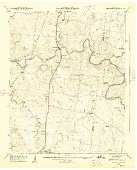
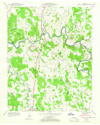
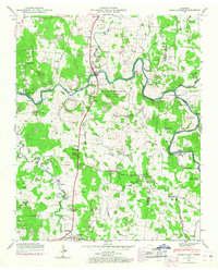
Editions of this 1947 Farmington Map
4 editions found
Other maps of this area

1936 · Chapel Hill
USGS Topo · 1:24,000

1936 · Farmington
USGS Topo · 1:24,000

1936 · Rover
USGS Topo · 1:24,000

1936 · Belfast
USGS Topo · 1:24,000

1936 · Lewisburg
USGS Topo · 1:24,000

1936 · Verona
USGS Topo · 1:24,000

1936 · Rally Hill
USGS Topo · 1:24,000

1936 · Unionville
USGS Topo · 1:24,000

1936 · Bedford
USGS Topo · 1:24,000

1944 · Shelbyville
USGS Topo · 1:100,000