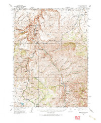
1936 Map of Rowland
USGS Topo · Published 1987About this map
The Bruneau River carves a deep path through this 1930s high-desert landscape, crossing the state line between Elko County, Nevada, and Owyhee County, Idaho. The settlement of Rowland serves as a central hub in a region defined by isolated cattle ranching and early mining interests, such as the Bruneau Mine. The presence of the Bruneau Sch and the Gold Creek Ranger Sta 33 indicates a community established enough to support public infrastructure despite the challenging terrain of the Diamond A Desert.
Find a feature on this map
66 named features on this map. Tap any name to fly to it.
Don’t see what you’re looking for? This feature index may not catch every label — zoom into the map to look around manually.
Map Details
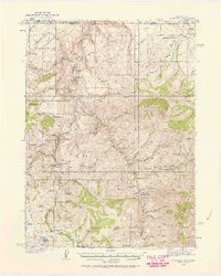
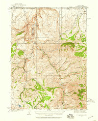
Editions of this 1936 Rowland Map
4 editions found
Other maps of this area

1935 · Charleston
USGS Topo · 1:48,000

1936 · Mountain City
USGS Topo · 1:62,500

1936 · Rowland
USGS Topo · 1:48,000

1940 · Rowland
USGS Topo · 1:62,500

1940 · Mountain City
USGS Topo · 1:62,500

1942 · Mt. Velma
USGS Topo · 1:62,500

1943 · Jarbidge
USGS Topo · 1:62,500

1945 · Jarbidge
USGS Topo · 1:62,500

1955 · Twin Falls
USGS Topo · 1:250,000

1955 · Wells
USGS Topo · 1:250,000