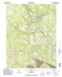
1995 Map of Rowlesburg
USGS Topo · Published 1998About this map
The Cheat River carves a deep valley through the northern reaches of the Monongahela National Forest, defining the industrial and civic layout of Rowlesburg. By the mid-1990s, this corridor remains a critical rail artery, noted by the 3 Tracks designation following the river's bend. The landscape is a mix of high-elevation ridges like Laurel Mountain and Limestone Mountain, punctuated by coal mining activity such as the strip mine near Buckhorn Run.
Find a feature on this map
68 named features on this map. Tap any name to fly to it.
Don’t see what you’re looking for? This feature index may not catch every label — zoom into the map to look around manually.
Map Details
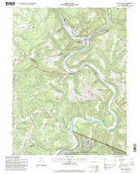
Editions of this 1995 Rowlesburg Map
2 editions found
Other maps of this area

1886 · St. George
USGS Topo · 1:125,000

1891 · St. George
USGS Topo · 1:125,000

1907 · Thornton
USGS Topo · 1:62,500

1907 · Kingwood
USGS Topo · 1:62,500

1907 · Belington
USGS Topo · 1:62,500

1908 · Parsons
USGS Topo · 1:62,500

1925 · Kingwood
USGS Topo · 1:62,500

1926 · Thornton
USGS Topo · 1:62,500

1926 · Parsons
USGS Topo · 1:62,500

1927 · Belington
USGS Topo · 1:62,500