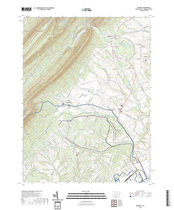
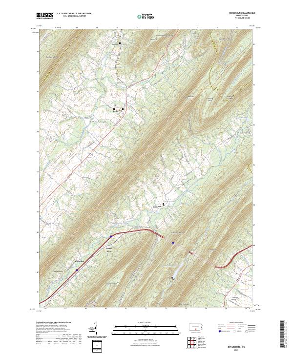
2023 Map of Roxbury
USGS Topo · Published 2023About this map
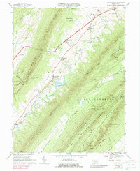
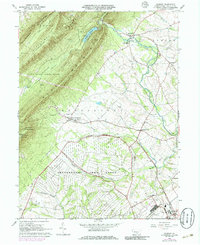
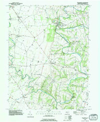
Kittatinny Mountain and Blue Mountain dominate the northern landscape of this Franklin County region, where the steep ridgelines of Timmons Mountain overlook narrow valleys carved by Pine Run and Dothan Run. Small agricultural settlements like Roxbury, Lurgan, and Upper Strasburg dot the lowlands, connected by a network of rural roads that follow the contours of the terrain. The presence of numerous specialized burial grounds, such as the Old Order York Brethren Cem and Upper Strasburg Mennonite Church Cem, suggests a long-standing and diverse religious community deeply rooted in the local soil.
Find a feature on this map
98 named features on this map. Tap any name to fly to it.
Don’t see what you’re looking for? This feature index may not catch every label — zoom into the map to look around manually.
Map Details
Editions of this 2023 Roxbury Map
This is the sole edition of this map. No revisions or reprints were ever made.
Historical Maps of Upper Strasburg Through Time
15 maps found

1944 Mc Connellsburg
Franklin County, PA
1944 St Thomas
Franklin County, PA
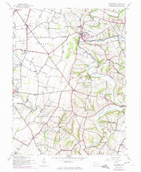
1944 Williamson
Franklin County, PA
1966 Doylesburg
Franklin County, PA
1966 Fannettsburg
Franklin County, PA
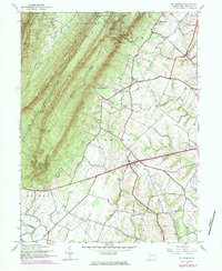
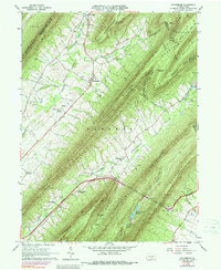
1966 Roxbury
Franklin County, PA

1990 Mc Connellsburg
Franklin County, PA

1990 St Thomas
Franklin County, PA
1990 Williamson
Franklin County, PA
2023 Doylesburg
Franklin County, PA
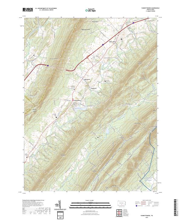
2023 Fannettsburg
Franklin County, PA
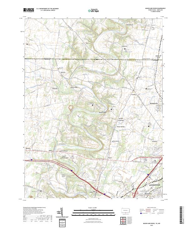
2023 Mason and Dixon
Franklin County, PA
2023 Roxbury
Franklin County, PA
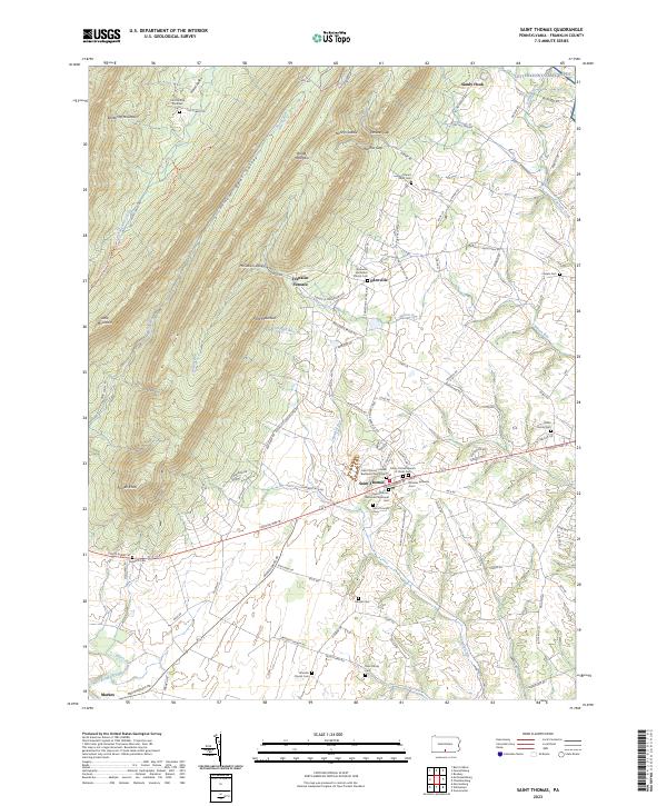
2023 Saint Thomas
Franklin County, PA
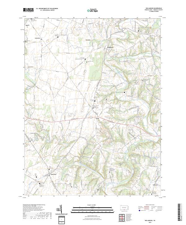
2023 Williamson
Franklin County, PA
Featured Locations
- Fannett Township, PA
- Letterkenny Township, PA
- Lurgan Township, PA
- Metal Township, PA
- Southampton Township, PA