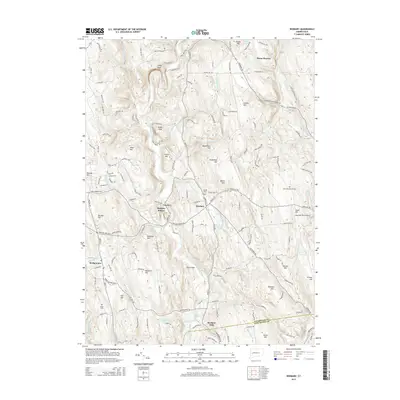
2015 Map of Roxbury
USGS Topo · Published 2015About this map
The Shepaug River carves a central path through this Litchfield County landscape, anchoring a series of historic settlements including Roxbury, Roxbury Station, and Roxbury Falls. The topography is defined by significant rises such as Steep Rock and Horse Heaven, while the southern reaches of the quadrangle meet the waters of Lake Lillinonah. This 2015 survey provides clear documentation of the area's rural character, showing the distribution of local heritage sites like Center Cem and the Old Leavonworth Cem.
Find a feature on this map
163 named features on this map. Tap any name to fly to it.
Don’t see what you’re looking for? This feature index may not catch every label — zoom into the map to look around manually.
Map Details
Editions of this 2015 Roxbury Map
This is the sole edition of this map. No revisions or reprints were ever made.
Other maps of this area

1889 · Derby
USGS Topo · 1:62,500

1891 · Derby
USGS Topo · 1:62,500

1892 · Danbury
USGS Topo · 1:62,500

1892 · New Milford
USGS Topo · 1:62,500

1893 · Waterbury
USGS Topo · 1:62,500

1893 · New Milford
USGS Topo · 1:62,500

1893 · Derby
USGS Topo · 1:62,500

1904 · New Milford
USGS Topo · 1:62,500

1904 · Waterbury
USGS Topo · 1:62,500

1904 · Litchfield
USGS Topo · 1:125,000