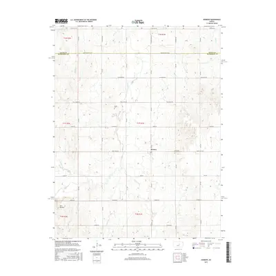
2015 Map of Roxbury
USGS Topo · Published 2015About this map
Roxbury serves as the central hub of this agricultural landscape in the mid-2010s, situated near the intersection of 27th Ave and Smoky Valley Rd. The terrain is defined by the branching drainage systems of Gypsum Creek and South Gypsum Creek, which cut through the undulating plains of the Smoky Hills region. In the southern reach of the survey, the distinctive Twin Mounds rise as a prominent local landmark above Battle Creek. Genealogists and local historians can locate established burial sites including Eureka Cemetery to the northwest and Valley View Memorial Cemetery just east of the main townsite. The road network reflects the area's heritage and geography, featuring named routes such as Wells Fargo Rd and Svensk Rd, the latter hinting at the Swedish immigrant influence common in this part of the state.
Find a feature on this map
39 named features on this map. Tap any name to fly to it.
Don’t see what you’re looking for? This feature index may not catch every label — zoom into the map to look around manually.
Map Details
Editions of this 2015 Roxbury Map
This is the sole edition of this map. No revisions or reprints were ever made.
Other maps of this area

1889 · Newton
USGS Topo · 1:125,000

1889 · Abilene
USGS Topo · 1:125,000

1891 · Hutchinson
USGS Topo · 1:125,000

1892 · Salina
USGS Topo · 1:125,000

1893 · Hutchinson
USGS Topo · 1:125,000

1894 · Newton
USGS Topo · 1:125,000

1894 · Abilene
USGS Topo · 1:125,000

1942 · Salina
USGS Topo · 1:125,000

1955 · Assaria
USGS Topo · 1:24,000

1955 · Gypsum
USGS Topo · 1:24,000