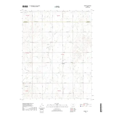
2018 Map of Roxbury
USGS Topo · Published 2018About this map
Roxbury serves as the central hub of this Kansas prairie landscape, situated near the intersection of Smoky Valley Rd and 27th Ave. The terrain is defined by the intricate branching of Gypsum Cr, which winds through the center of the sheet, supported by tributaries like N Gypsum Creek and S Gypsum Creek. To the west, the distinct elevation of Twin Mounds provides a landmark above the surrounding fields.
Find a feature on this map
41 named features on this map. Tap any name to fly to it.
Don’t see what you’re looking for? This feature index may not catch every label — zoom into the map to look around manually.
Map Details
Editions of this 2018 Roxbury Map
This is the sole edition of this map. No revisions or reprints were ever made.
Other maps of this area

1889 · Newton
USGS Topo · 1:125,000

1889 · Abilene
USGS Topo · 1:125,000

1891 · Hutchinson
USGS Topo · 1:125,000

1892 · Salina
USGS Topo · 1:125,000

1893 · Hutchinson
USGS Topo · 1:125,000

1894 · Newton
USGS Topo · 1:125,000

1894 · Abilene
USGS Topo · 1:125,000

1942 · Salina
USGS Topo · 1:125,000

1955 · Assaria
USGS Topo · 1:24,000

1955 · Gypsum
USGS Topo · 1:24,000