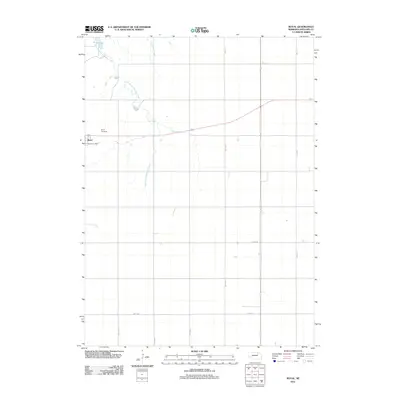
2011 Map of Royal
USGS Topo · Published 2011About this map
The village of Royal serves as the focal point for this Antelope County landscape, situated where the high plains of Nebraska meet the drainage of the East Branch Verdigre Creek. This 2011 survey reflects the enduring grid of the section-line road system, including routes like 523rd Ave and 865th Rd, which define the agricultural character of the region. Local landmarks such as the Royal Post Office and the Royal Cemetery anchor the community's history, while Grove Lake provides a notable water feature in the northern portion of the quadrangle. The map captures the quiet intersection of rural infrastructure and natural hydrology, as seen in the winding course of Cottonwood Creek as it moves across the strictly ordered landscape of the northern Great Plains.
Find a feature on this map
15 named features on this map. Tap any name to fly to it.
Don’t see what you’re looking for? This feature index may not catch every label — zoom into the map to look around manually.
Map Details
Editions of this 2011 Royal Map
This is the sole edition of this map. No revisions or reprints were ever made.
Other maps of this area

1955 · Sioux City
USGS Topo · 1:250,000

1955 · O'Neill
USGS Topo · 1:250,000

1958 · Sioux City
USGS Topo · 1:250,000

1959 · O'Neill
USGS Topo · 1:250,000

1959 · Sioux City
USGS Topo · 1:250,000

1963 · Orchard NE
USGS Topo · 1:24,000

1963 · Neligh
USGS Topo · 1:24,000

1963 · Brunswick
USGS Topo · 1:24,000

1963 · Royal
USGS Topo · 1:24,000

1963 · Orchard
USGS Topo · 1:24,000