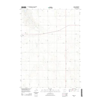
2014 Map of Royal
USGS Topo · Published 2014About this map
Royal serves as a central hub in this section of Antelope County, characterized by a grid of rural roads and the winding path of E Br Verdigre Cr. The settlement is closely connected to its local heritage through the nearby Royal Cem, situated just north of the town center. The landscape is marked by the presence of Grove Lake in the northwest, a significant water body that anchors the upper drainage of the creek system. This 2014 survey illustrates a deeply rooted agricultural layout, where Highway 14 provides a primary north-south corridor through the rolling terrain. The map captures a high level of detail for local researchers, from the specific placement of farm access roads like 522nd Ave to the precise contours of the Verdigre Creek valley.
Find a feature on this map
18 named features on this map. Tap any name to fly to it.
Don’t see what you’re looking for? This feature index may not catch every label — zoom into the map to look around manually.
Map Details
Editions of this 2014 Royal Map
This is the sole edition of this map. No revisions or reprints were ever made.
Other maps of this area

1955 · Sioux City
USGS Topo · 1:250,000

1955 · O'Neill
USGS Topo · 1:250,000

1958 · Sioux City
USGS Topo · 1:250,000

1959 · O'Neill
USGS Topo · 1:250,000

1959 · Sioux City
USGS Topo · 1:250,000

1963 · Orchard NE
USGS Topo · 1:24,000

1963 · Neligh
USGS Topo · 1:24,000

1963 · Brunswick
USGS Topo · 1:24,000

1963 · Royal
USGS Topo · 1:24,000

1963 · Orchard
USGS Topo · 1:24,000