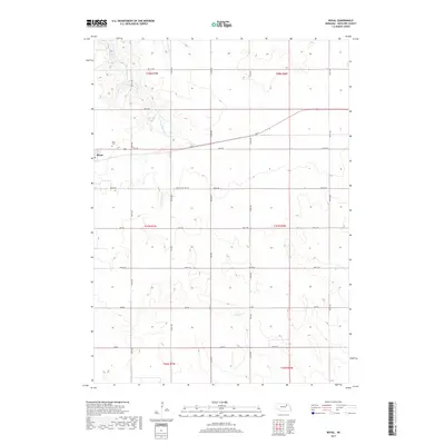
2017 Map of Royal
USGS Topo · Published 2017About this map
Royal serves as a central point for this agricultural portion of Antelope County, characterized by its strict grid of section lines and the winding drainage of E Br Verdigre Cr. The settlement is shadowed to the northwest by the Royal Cem, providing a focal point for genealogical research in the township. To the north, the landscape shifts as the terrain slopes toward Grove Lake and the confluence with Cottonwood Cr. The map details an extensive network of rural routes, including 863 RD and 522nd Ave, which facilitate movement between the vast farmsteads. A unique notation for Drifted Mo Traffic appears along 862nd Rd, indicating specific local transit patterns or roadway conditions managed by the Department of the Interior and USGS during this 2017 survey period.
Find a feature on this map
27 named features on this map. Tap any name to fly to it.
Don’t see what you’re looking for? This feature index may not catch every label — zoom into the map to look around manually.
Map Details
Editions of this 2017 Royal Map
This is the sole edition of this map. No revisions or reprints were ever made.
Other maps of this area

1955 · Sioux City
USGS Topo · 1:250,000

1955 · O'Neill
USGS Topo · 1:250,000

1958 · Sioux City
USGS Topo · 1:250,000

1959 · O'Neill
USGS Topo · 1:250,000

1959 · Sioux City
USGS Topo · 1:250,000

1963 · Orchard NE
USGS Topo · 1:24,000

1963 · Neligh
USGS Topo · 1:24,000

1963 · Brunswick
USGS Topo · 1:24,000

1963 · Royal
USGS Topo · 1:24,000

1963 · Orchard
USGS Topo · 1:24,000