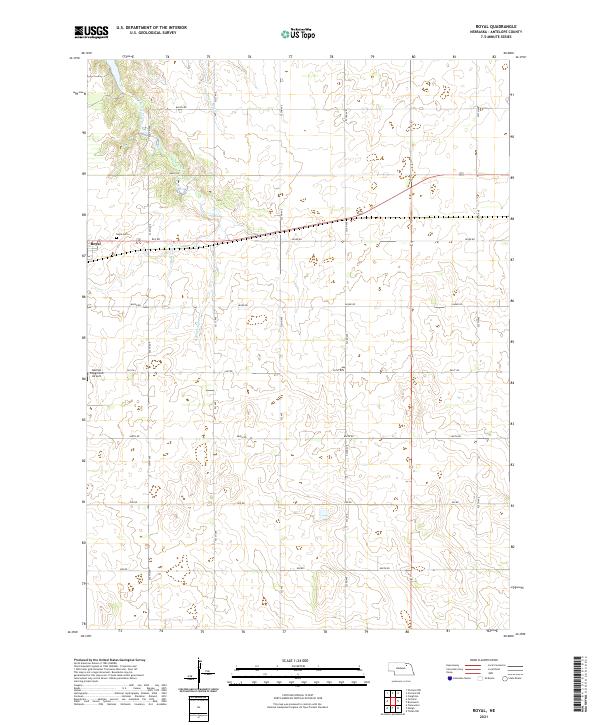
2021 Map of Royal
USGS Topo · Published 2021About this map
The settlement of Royal serves as the primary focal point in this portion of Antelope County, situated within the agricultural landscape of northern Nebraska. The geography is defined by the winding paths of E Br Verdigre Cr and Cottonwood Cr, which cut through the township sections of T28N, T27N, and T26N. Local history is anchored by the Royal Cem, providing a direct link for genealogists researching families from this rural district. A notable modern landmark is the Dennys Playground Airport, which alongside a network of section-line roads like 521st Ave and 863 Rd, illustrates the persistent grid-based organization of the Nebraska plains. This survey documents the intersection of essential water resources and the established transportation routes that have supported the region's farming community into the twenty-first century.
Find a feature on this map
30 named features on this map. Tap any name to fly to it.
Don’t see what you’re looking for? This feature index may not catch every label — zoom into the map to look around manually.
Map Details
Editions of this 2021 Royal Map
This is the sole edition of this map. No revisions or reprints were ever made.
Other maps of this area

1955 · Sioux City
USGS Topo · 1:250,000

1955 · O'Neill
USGS Topo · 1:250,000

1958 · Sioux City
USGS Topo · 1:250,000

1959 · O'Neill
USGS Topo · 1:250,000

1959 · Sioux City
USGS Topo · 1:250,000

1963 · Orchard NE
USGS Topo · 1:24,000

1963 · Neligh
USGS Topo · 1:24,000

1963 · Brunswick
USGS Topo · 1:24,000

1963 · Royal
USGS Topo · 1:24,000

1963 · Orchard
USGS Topo · 1:24,000