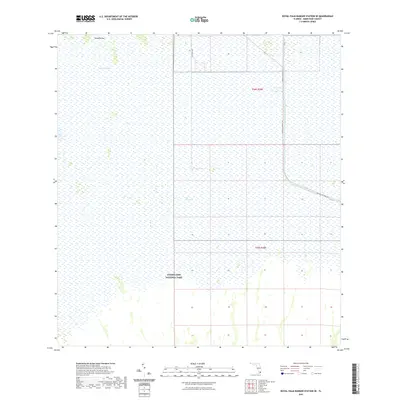
2021 Map of Royal Palm Ranger Station SE
USGS Topo · Published 2021About this map
Everglades National Park dominates this south Florida landscape, where the vast, inundated marshes of Taylor Slough define the hydrological character of the region. The map captures a critical transition point between natural wetlands and the managed drainage systems that define modern Miami-Dade County. To the north, the elevation rises slightly at Paradise Key, a distinctive hammock that stands out against the surrounding sawgrass.
Find a feature on this map
10 named features on this map. Tap any name to fly to it.
Don’t see what you’re looking for? This feature index may not catch every label — zoom into the map to look around manually.
Map Details
Editions of this 2021 Royal Palm Ranger Station SE Map
This is the sole edition of this map. No revisions or reprints were ever made.
Other maps of this area

1947 · Blackwater Sound
USGS Topo · 1:24,000

1949 · Blackwater Sound
USGS Topo · 1:24,000

1950 · Homestead
USGS Topo · 1:24,000

1950 · Glades
USGS Topo · 1:24,000

1956 · Homestead
USGS Topo · 1:24,000

1956 · Royal Palm Ranger Station
USGS Topo · 1:24,000

1956 · Glades
USGS Topo · 1:24,000

1956 · Royal Palm Ranger Station SE
USGS Topo · 1:24,000

1956 · Miami
USGS Topo · 1:250,000

1958 · Miami
USGS Topo · 1:250,000