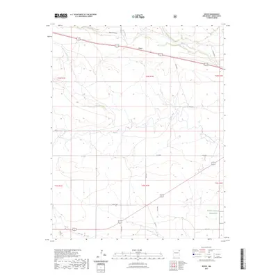
2023 Map of Royce
USGS Topo · Published 2023About this map
Kiowa National Grassland defines the southeastern corner of this landscape in Union County, where the plains of northeast New Mexico are carved by a system of seasonal watercourses. The drainage of Perico Creek and Apache Creek winds through the central and northern sections, while Sand Draw cuts across the southern reach. The small settlement of Royce sits along the northern transit corridor, serving as a landmark in an area otherwise characterized by its expansive ranching and grazing lands. For those tracing family histories or local heritage, the map identifies isolated burial sites including Antioch Cem and Otto Cem. These cemeteries, positioned near county roads like Co RD a022, mark the enduring presence of early homesteaders and rural communities in this high-plains environment.
Find a feature on this map
23 named features on this map. Tap any name to fly to it.
Don’t see what you’re looking for? This feature index may not catch every label — zoom into the map to look around manually.
Map Details
Editions of this 2023 Royce Map
This is the sole edition of this map. No revisions or reprints were ever made.
Other maps of this area

1954 · Dalhart
USGS Topo · 1:250,000

1958 · Dalhart
USGS Topo · 1:250,000

1962 · Dalhart
USGS Topo · 1:250,000

1966 · Royce
USGS Topo · 1:24,000

1966 · Black Canyon
USGS Topo · 1:24,000

1966 · Tate School
USGS Topo · 1:24,000

1966 · Sand Hill
USGS Topo · 1:24,000

1970 · Clayton
USGS Topo · 1:24,000

1970 · Clayton SW
USGS Topo · 1:24,000

1972 · Mount Dora
USGS Topo · 1:24,000