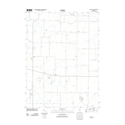
2012 Map of Rozetta
USGS Topo · Published 2012About this map
Coghill Cemetery and Pleasant Green Cemetery are among the numerous burial grounds scattered across this agricultural landscape in Henderson County. The map documents a predominantly rural section of western Illinois, centered on the small settlements of Rozetta and Reeds. The drainage patterns of Fall Creek and Smith Creek dictate the terrain, leading toward the Henderson Creek bottomlands.
Find a feature on this map
59 named features on this map. Tap any name to fly to it.
Don’t see what you’re looking for? This feature index may not catch every label — zoom into the map to look around manually.
Map Details
Editions of this 2012 Rozetta Map
This is the sole edition of this map. No revisions or reprints were ever made.
Other maps of this area

1921 · Monmouth
USGS Topo · 1:62,500

1923 · Monmouth
USGS Topo · 1:62,500

1923 · Alexis
USGS Topo · 1:62,500

1925 · Alexis
USGS Topo · 1:62,500

1934 · Oquawka
USGS Topo · 1:48,000

1935 · Keithsburg
USGS Topo · 1:48,000

1940 · Oquawka
USGS Topo · 1:62,500

1941 · Keithsburg
USGS Topo · 1:62,500

1958 · Burlington
USGS Topo · 1:250,000

1958 · Davenport
USGS Topo · 1:250,000