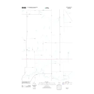
2013 Map of Ruby
USGS Topo · Published 2013About this map
Ruby sits near the western edge of this landscape, a small settlement defined by its grid of local roads and the nearby Hay Cr. The terrain is shaped by a dense network of waterways, with the Yellow River winding across the southern reach and the Fisher River cutting through the northeast corner. In between, smaller tributaries like Christmas Cr and Elder Cr drain the central woodlands and agricultural plots. The area is intersected by several county highways and state route Wi-64, which serves as a primary east-west artery through the township. The prevalence of named roads like Buswell Rd and Inn Dr suggests a rural community where land ownership and local access routes are well-established, providing a clear view of the area's modern rural development and hydraulic patterns.
Find a feature on this map
36 named features on this map. Tap any name to fly to it.
Don’t see what you’re looking for? This feature index may not catch every label — zoom into the map to look around manually.
Map Details
Editions of this 2013 Ruby Map
This is the sole edition of this map. No revisions or reprints were ever made.
Other maps of this area

1947 · Sheldon
USGS Topo · 1:48,000

1948 · Ladysmith
USGS Topo · 1:48,000

1949 · Sheldon
USGS Topo · 1:48,000

1950 · Ladysmith
USGS Topo · 1:48,000

1951 · Cornell
USGS Topo · 1:62,500

1951 · Gilman
USGS Topo · 1:62,500

1953 · Rice Lake
USGS Topo · 1:250,000

1959 · Rice Lake
USGS Topo · 1:250,000
1971 · Jump River
USGS Topo · 1:24,000
1971 · Ladysmith SE
USGS Topo · 1:24,000