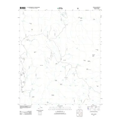
2012 Map of Ruby
USGS Topo · Published 2012About this map
Ruby and the surrounding borderlands of Santa Cruz County are defined by a complex network of high peaks and deeply cut drainages. The landscape is marked by historic mining and ranching interests, with names like Old Glory Canyon, Warsaw Canyon, and California Gulch suggesting the area's mineral-rich past. The prominence of Montana Peak and Ruby Peak overlook a terrain where water is a critical resource, evidenced by numerous tanks and springs such as Savoita Spring and Bolsa Tank. To the east, the Atascosa Mountains rise sharply, featuring the Atascosa Lookout Number One Hundred and the Ramanote Canyon Natural Arch. Access through this remote territory is facilitated by routes like E Ruby Rd and Summit Mtwy, which connect isolated outposts like Bear Valley Ranch to the broader region.
Find a feature on this map
72 named features on this map. Tap any name to fly to it.
Don’t see what you’re looking for? This feature index may not catch every label — zoom into the map to look around manually.
Map Details
Editions of this 2012 Ruby Map
This is the sole edition of this map. No revisions or reprints were ever made.
Other maps of this area

1920 · Arivaca
USGS Topo · 1:125,000

1921 · Old Glory
USGS Topo · 1:125,000

1939 · Tubac
USGS Topo · 1:62,500

1941 · Arivaca
USGS Topo · 1:62,500

1942 · Ruby
USGS Topo · 1:62,500

1942 · Oro Blanco
USGS Topo · 1:62,500

1943 · Arivaca
USGS Topo · 1:62,500

1943 · Old Glory
USGS Topo · 1:125,000

1943 · Tubac
USGS Topo · 1:62,500

1944 · Oro Blanco
USGS Topo · 1:62,500