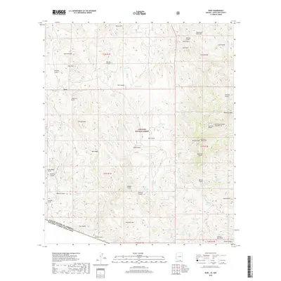
2018 Map of Ruby
USGS Topo · Published 2018About this map
Ruby stands as a focal point in this high-desert borderland, situated within the vast expanse of the Coronado National Forest. This region is defined by a series of significant mountain ranges, including the Tumacacori Mountains, Atascosa Mountains, and Pajarito Mountains, which create a complex system of drainages such as California Gulch and Peck Canyon. The landscape is dotted with numerous water sources essential for life in this arid environment, ranging from the Ruby Lakes to high-elevation tanks like Alto Schumaker Tank and named springs such as Savoia Spring and Yanks Spring.
Find a feature on this map
87 named features on this map. Tap any name to fly to it.
Don’t see what you’re looking for? This feature index may not catch every label — zoom into the map to look around manually.
Map Details
Editions of this 2018 Ruby Map
This is the sole edition of this map. No revisions or reprints were ever made.
Other maps of this area

1920 · Arivaca
USGS Topo · 1:125,000

1921 · Old Glory
USGS Topo · 1:125,000

1939 · Tubac
USGS Topo · 1:62,500

1941 · Arivaca
USGS Topo · 1:62,500

1942 · Ruby
USGS Topo · 1:62,500

1942 · Oro Blanco
USGS Topo · 1:62,500

1943 · Arivaca
USGS Topo · 1:62,500

1943 · Old Glory
USGS Topo · 1:125,000

1943 · Tubac
USGS Topo · 1:62,500

1944 · Oro Blanco
USGS Topo · 1:62,500