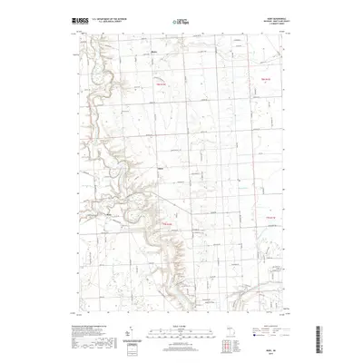
2019 Map of Ruby
USGS Topo · Published 2019About this map
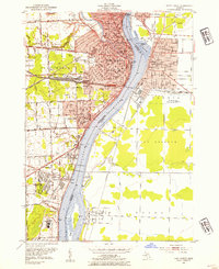
The Black River winds through the heart of Clyde Township, defining the drainage patterns and historical development of this portion of Saint Clair County. Small residential clusters like Atkins and Ruby are connected by a network of rural roads such as Avoca RD and Wildcat RD, reflecting a landscape deeply rooted in agricultural and local family history. Several small waterways, including Brandywine Drain, Glyshaw Drain, and Mill Creek, underscore the importance of water management in this area west of Lake Huron.
Find a feature on this map
95 named features on this map. Tap any name to fly to it.
Don’t see what you’re looking for? This feature index may not catch every label — zoom into the map to look around manually.
Map Details
Editions of this 2019 Ruby Map
This is the sole edition of this map. No revisions or reprints were ever made.
Other maps of this area

1912 · Port Huron
USGS Topo · 1:62,500

1928 · Hicky
USGS Topo · 1:62,500

1929 · Port Huron
USGS Topo · 1:62,500

1939 · Port Huron
USGS Topo · 1:24,000

1939 · Smiths Creek
USGS Topo · 1:24,000

1939 · Goodells
USGS Topo · 1:24,000
1949 · Port Huron
USGS Topo · 1:24,000
1952 · Smiths Creek
USGS Topo · 1:24,000
1952 · Goodells
USGS Topo · 1:24,000
1952 · Port Huron
USGS Topo · 1:24,000
Featured Places
- Atkins, MI
- Grant Township, MI
- Clyde Township, MI
- Burtchville Township, MI
- Port Huron Charter Township, MI