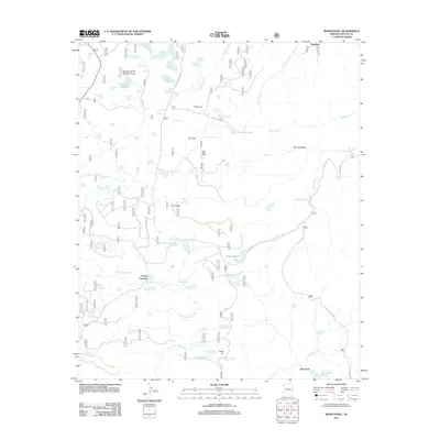
2011 Map of Rudd Knoll
USGS Topo · Published 2011About this map
Crosby Crossing and the surrounding high-country landscape of eastern Arizona define this 2011 survey, where water management is central to the land's utility. Named for the prominent volcanic feature Rudd Knoll, the area is densely marked by a network of engineered tanks and reservoirs, including Slade Reservoir, Saint Josephs Reservoir, and the San Salvador Reservoir. These features, alongside numerous livestock tanks like Bog Tank and Moon Tank, illustrate the persistent infrastructure required to support ranching and resource management in this arid terrain.
Find a feature on this map
89 named features on this map. Tap any name to fly to it.
Don’t see what you’re looking for? This feature index may not catch every label — zoom into the map to look around manually.
Map Details
Editions of this 2011 Rudd Knoll Map
This is the sole edition of this map. No revisions or reprints were ever made.
Other maps of this area

1886 · St Johns
USGS Topo · 1:250,000

1892 · St Johns
USGS Topo · 1:250,000

1922 · Nutrioso
USGS Topo · 1:125,000

1954 · Clifton
USGS Topo · 1:250,000

1954 · Saint Johns
USGS Topo · 1:250,000

1957 · Clifton
USGS Topo · 1:250,000

1957 · Saint Johns
USGS Topo · 1:250,000

1958 · Clifton
USGS Topo · 1:250,000

1958 · Saint Johns
USGS Topo · 1:250,000

1958 · Alpine
USGS Topo · 1:62,500