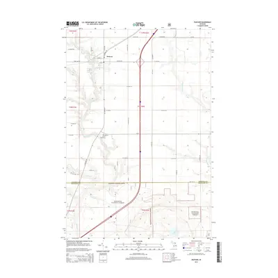
2014 Map of Rudyard
USGS Topo · Published 2014About this map
Rudyard serves as the central hub of this Upper Peninsula landscape, where a grid of rural roads meets the winding courses of the North Pine River and Munuscong River. The settlement pattern is defined by long-established section lines, with many roads bearing local family or descriptive names such as S Hantz Rd and S Jarvie Rd. To the south, the terrain transitions into the protected acreage of the Hiawatha National Forest, marked by the boundary between Chippewa Co and Mackinac Co. Genealogists will find the locations of the S Rudyard Cem and Saint Rudyard Cem southwest of the main townsite, while natural features like Hill Lake and the Hiawatha-Run drainage provide clues to the local hydrology of the eastern U.P.
Find a feature on this map
42 named features on this map. Tap any name to fly to it.
Don’t see what you’re looking for? This feature index may not catch every label — zoom into the map to look around manually.
Map Details
Editions of this 2014 Rudyard Map
This is the sole edition of this map. No revisions or reprints were ever made.
Other maps of this area

1913 · Sault Sainte Marie
USGS Topo · 1:62,500

1941 · Sault Sainte Marie
USGS Topo · 1:63,360

1941 · Brimley
USGS Topo · 1:63,360

1951 · Raco
USGS Topo · 1:24,000

1951 · Kinross
USGS Topo · 1:24,000

1951 · Dafter
USGS Topo · 1:24,000

1951 · Brimley
USGS Topo · 1:62,500

1951 · Sault Ste. Marie
USGS Topo · 1:62,500

1953 · Pickford NW
USGS Topo · 1:24,000
1953 · Rudyard
USGS Topo · 1:24,000