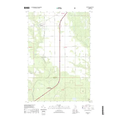
2019 Map of Rudyard
USGS Topo · Published 2019About this map
The settlement of Rudyard serves as the focal point for this landscape in the Upper Peninsula, situated at the junction of Trout Lake Rd and W Main St. The surrounding countryside is defined by its watercourses and early-century infrastructure, including the northern stretches of the Hiawatha National Forest and the Pine River Canoe Route (Water), which follows the winding course of the Pine River. Local heritage is anchored by sites such as Saint Rudyard Cem and South Rudyard Cem, while the county line between Chippewa Co and Mackinac Co bisects the southern portion of the quadrangle. The map details a transition from the agricultural grid of the north to the protected woodlands and riparian environments of the south, where Hiawatha Run and the Munuscong River drain toward the Great Lakes basin.
Find a feature on this map
37 named features on this map. Tap any name to fly to it.
Don’t see what you’re looking for? This feature index may not catch every label — zoom into the map to look around manually.
Map Details
Editions of this 2019 Rudyard Map
This is the sole edition of this map. No revisions or reprints were ever made.
Other maps of this area

1913 · Sault Sainte Marie
USGS Topo · 1:62,500

1941 · Sault Sainte Marie
USGS Topo · 1:63,360

1941 · Brimley
USGS Topo · 1:63,360

1951 · Raco
USGS Topo · 1:24,000

1951 · Kinross
USGS Topo · 1:24,000

1951 · Dafter
USGS Topo · 1:24,000

1951 · Brimley
USGS Topo · 1:62,500

1951 · Sault Ste. Marie
USGS Topo · 1:62,500

1953 · Pickford NW
USGS Topo · 1:24,000
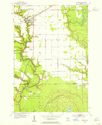
1953 · Rudyard
USGS Topo · 1:24,000