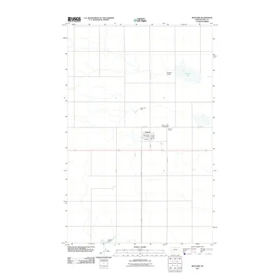
2011 Map of Rudyard
USGS Topo · Published 2011About this map
The small unincorporated community of Rudyard serves as the central hub of this northern Montana landscape, located in Hill County. Established along a grid of local thoroughfares including Main St and Lincoln St, the town is anchored by essential civic structures such as the Rudyard Post Office and the Rudyard Rural Fire District. These features reflect the organized agricultural and residential character of the High Line region during the early twenty-first century.
Find a feature on this map
11 named features on this map. Tap any name to fly to it.
Don’t see what you’re looking for? This feature index may not catch every label — zoom into the map to look around manually.
Map Details
Editions of this 2011 Rudyard Map
This is the sole edition of this map. No revisions or reprints were ever made.
Other maps of this area

1919 · Big Sandy
USGS Topo · 1:125,000

1919 · Alma
USGS Topo · 1:125,000

1920 · Gildford
USGS Topo · 1:125,000

1943 · Gildford
USGS Topo · 1:125,000

1954 · Shelby
USGS Topo · 1:250,000

1958 · Shelby
USGS Topo · 1:250,000

1969 · Gildford NW
USGS Topo · 1:24,000

1969 · Hingham
USGS Topo · 1:24,000

1969 · Fourteenmile Coulee NW
USGS Topo · 1:24,000

1970 · Rocky Coulee
USGS Topo · 1:24,000