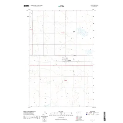
2020 Map of Rudyard
USGS Topo · Published 2020About this map
Rudyard serves as a central hub in this Hill County agricultural landscape, organized around the critical transportation corridor of the BNSF Railway. The town is meticulously plotted with a grid of residential and commercial streets, including 1st Ave NW, Lincoln St, and 4th Ave NW, reflecting its role as a local center for the surrounding plains. The topography is defined by the significant drainage of Hingham Coulee and the intermittent waters of Hingham Lake to the northeast.
Find a feature on this map
21 named features on this map. Tap any name to fly to it.
Don’t see what you’re looking for? This feature index may not catch every label — zoom into the map to look around manually.
Map Details
Editions of this 2020 Rudyard Map
This is the sole edition of this map. No revisions or reprints were ever made.
Other maps of this area

1919 · Big Sandy
USGS Topo · 1:125,000

1919 · Alma
USGS Topo · 1:125,000

1920 · Gildford
USGS Topo · 1:125,000

1943 · Gildford
USGS Topo · 1:125,000

1954 · Shelby
USGS Topo · 1:250,000

1958 · Shelby
USGS Topo · 1:250,000

1969 · Gildford NW
USGS Topo · 1:24,000

1969 · Hingham
USGS Topo · 1:24,000

1969 · Fourteenmile Coulee NW
USGS Topo · 1:24,000

1970 · Rocky Coulee
USGS Topo · 1:24,000