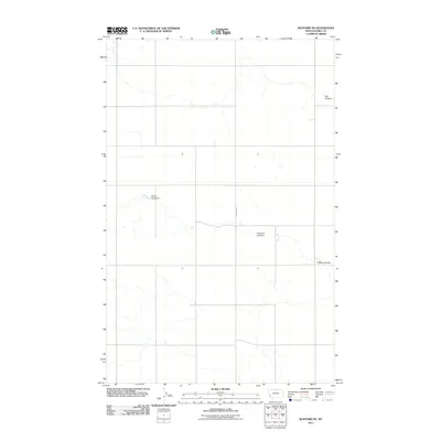
2011 Map of Rudyard NE
USGS Topo · Published 2011About this map
The northern plains of Hill County, Montana, define this landscape as it appeared in the early 21st century. The topography is dominated by dramatic drainage patterns, most notably the winding paths of Big Coulee and O'Brien Coulee as they cut through the dry terrain. The agricultural and ranching history of the region is evident in the presence of water management structures, such as Sandy Sage Dam and Anderson Lyle Dam, which speak to the persistent need for irrigation and livestock water in this arid environment. Transportation across the expansive territory relies on the north-south alignment of Rudyard Rd, providing a primary artery for local travel and connectivity within this sparsely populated corner of the state.
Find a feature on this map
5 named features on this map. Tap any name to fly to it.
Don’t see what you’re looking for? This feature index may not catch every label — zoom into the map to look around manually.
Map Details
Editions of this 2011 Rudyard NE Map
This is the sole edition of this map. No revisions or reprints were ever made.
Other maps of this area

1919 · Alma
USGS Topo · 1:125,000

1920 · Gildford
USGS Topo · 1:125,000

1943 · Gildford
USGS Topo · 1:125,000

1954 · Shelby
USGS Topo · 1:250,000

1958 · Shelby
USGS Topo · 1:250,000

1969 · Gildford NW
USGS Topo · 1:24,000

1969 · Hingham
USGS Topo · 1:24,000
1972 · Rudyard
USGS Topo · 1:24,000

1972 · Goldstone SW
USGS Topo · 1:24,000

1972 · Rudyard NW
USGS Topo · 1:24,000