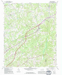
1971 Map of Ruffin
USGS Topo · Published 1994About this map
The Southern railway corridor and the dual lanes of U.S. 29 define the economic and social spine of this North Carolina landscape, where the agricultural heart of Rockingham Co meets the western edge of Caswell Co. The village of Ruffin serves as a central hub, flanked by a network of smaller crossroads like Lawsonville, Stephens Crossroads, and Sadler. These rural communities are tethered by a high density of country churches and family landmarks, including Wolf Island Ch and the Mullins-Stacey Cem, illustrating a long-established pattern of settlement along the ridges between the many forks of Wolf Island Creek. The drainage of Hogans Creek and Lick Fork carves the southern terrain, where schools and localized gathering spots like Happy Home and Casville anchor the surrounding farmsteads.
Find a feature on this map
34 named features on this map. Tap any name to fly to it.
Don’t see what you’re looking for? This feature index may not catch every label — zoom into the map to look around manually.
Map Details
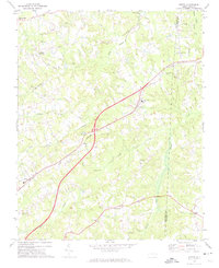
Editions of this 1971 Ruffin Map
2 editions found
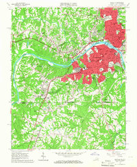
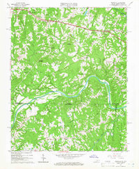
Other maps of this area

1923 · Danville
USGS Topo · 1:48,000

1924 · Draper
USGS Topo · 1:48,000

1925 · Danville
USGS Topo · 1:62,500

1926 · Draper
USGS Topo · 1:62,500

1944 · Draper
USGS Topo · 1:62,500

1953 · Greensboro
USGS Topo · 1:250,000

1954 · Greensboro
USGS Topo · 1:250,000

1962 · Greensboro
USGS Topo · 1:250,000
1965 · Danville
USGS Topo · 1:24,000
1965 · Brosville
USGS Topo · 1:24,000