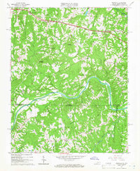
1965 Map of Brosville
USGS Topo · Published 1966About this map
Bachelors Hall and Brosville anchor the northern landscape of this mid-century survey, where the tobacco-growing country of Pittsylvania County meets the North Carolina border. The terrain is defined by the winding course of the Dan River, which forms a deep loop in the center of the sheet. Transportation and commerce are tied to the Southern railroad line, which skirts the river's edge near Berry Hill.
Find a feature on this map
47 named features on this map. Tap any name to fly to it.
Don’t see what you’re looking for? This feature index may not catch every label — zoom into the map to look around manually.
Map Details
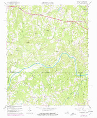
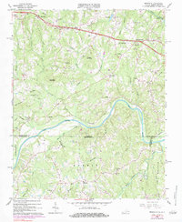
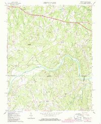
Editions of this 1965 Brosville Map
4 editions found
Other maps of this area

1923 · Danville
USGS Topo · 1:48,000

1924 · Draper
USGS Topo · 1:48,000

1925 · Danville
USGS Topo · 1:62,500

1926 · Draper
USGS Topo · 1:62,500

1944 · Draper
USGS Topo · 1:62,500

1953 · Greensboro
USGS Topo · 1:250,000

1954 · Greensboro
USGS Topo · 1:250,000

1962 · Greensboro
USGS Topo · 1:250,000

1964 · Mount Hermon
USGS Topo · 1:24,000

1965 · Danville
USGS Topo · 1:24,000