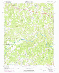
1965 Map of Brosville
USGS Topo · Published 1978About this map
Brosville and Bachelors Hall anchor the northern landscape of this Virginia-North Carolina borderland, where the terrain rises into prominent heights like Soyar Mountain, Perkins Mountain, and Judy Byrd Mountain. The Dan River meanders through the central portion of the map, serving as a geographic centerpiece that defines the drainage patterns for numerous local tributaries, including White Oak Creek and Wolf Island Creek. Settlement patterns are heavily influenced by the Southern railroad line, which skirts the river valley.
Find a feature on this map
48 named features on this map. Tap any name to fly to it.
Don’t see what you’re looking for? This feature index may not catch every label — zoom into the map to look around manually.
Map Details
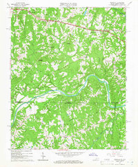
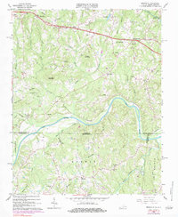
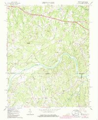
Editions of this 1965 Brosville Map
4 editions found
Other maps of this area

1923 · Danville
USGS Topo · 1:48,000

1924 · Draper
USGS Topo · 1:48,000

1925 · Danville
USGS Topo · 1:62,500

1926 · Draper
USGS Topo · 1:62,500

1944 · Draper
USGS Topo · 1:62,500

1953 · Greensboro
USGS Topo · 1:250,000

1954 · Greensboro
USGS Topo · 1:250,000

1962 · Greensboro
USGS Topo · 1:250,000

1964 · Mount Hermon
USGS Topo · 1:24,000

1965 · Danville
USGS Topo · 1:24,000