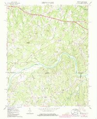
1965 Map of Brosville
USGS Topo · Published 1986About this map
Dan River flows prominently through this 1965 survey, marking the border between Pittsylvania County, Virginia, and Rockingham County, North Carolina. The landscape is defined by the winding course of the river and its many tributaries, including White Oak Creek and Hardys Creek. Small agricultural communities and family-named landforms dot the terrain, with ridges like Soyar Mountain and Judy Byrd Mountain rising above the valleys. The Southern railroad line parallels the river, facilitating transport through rural settlements like Berry Hill and Buford. Local life is anchored by numerous country churches, such as Piney Grove Ch and Welcome Ch, and the map records several isolated family burial grounds like Moss Cem. This edition, photoinspected in the early 1980s, captures the transition of the Piedmont region where tobacco farming and small-scale industry met the growing infrastructure of the mid-20th century.
Find a feature on this map
51 named features on this map. Tap any name to fly to it.
Don’t see what you’re looking for? This feature index may not catch every label — zoom into the map to look around manually.
Map Details
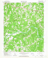
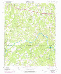
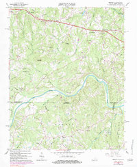
Editions of this 1965 Brosville Map
4 editions found
Other maps of this area

1923 · Danville
USGS Topo · 1:48,000

1924 · Draper
USGS Topo · 1:48,000

1925 · Danville
USGS Topo · 1:62,500

1926 · Draper
USGS Topo · 1:62,500

1944 · Draper
USGS Topo · 1:62,500

1953 · Greensboro
USGS Topo · 1:250,000

1954 · Greensboro
USGS Topo · 1:250,000

1962 · Greensboro
USGS Topo · 1:250,000

1964 · Mount Hermon
USGS Topo · 1:24,000

1965 · Danville
USGS Topo · 1:24,000