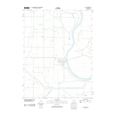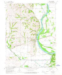
1965 Map of Rulo
USGS Topo · Published 1966About this map
The town of Rulo sits at a strategic bend where the Chicago Burlington and Quincy railroad crosses the Missouri River into Missouri. This mid-1960s landscape shows the intricate drainage patterns of the Missouri River Basin, where the Big Nemaha River and Old Big Nemaha River Channel converge with the main Missouri channel. Numerous rural institutions are documented here, including Zion Ch, Heater Cem, and Franklin Cem, providing valuable location data for genealogists tracing families in the Nebraska-Missouri borderlands. The transition from the rugged bluffs of the loess hills to the flat bottomlands is marked by multiple quarries and water management features like the Pumping Station and Gaging Sta. Education in the district is still represented by country schoolhouses such as Sunny Valley Sch and Brick Sch, capturing the rural infrastructure of Richardson County before further consolidation.
Find a feature on this map
26 named features on this map. Tap any name to fly to it.
Don’t see what you’re looking for? This feature index may not catch every label — zoom into the map to look around manually.
Map Details
Editions of this 1965 Rulo Map
This is the sole edition of this map. No revisions or reprints were ever made.
Historical Maps of Rulo Through Time
6 maps found