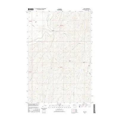
2017 Map of Rulo
USGS Topo · Published 2017About this map
Touchet River winds through this landscape of deep-cut drainages and expansive agricultural plateaus in Walla Walla County. The area is characterized by significant topographical features like Webber Canyon and Woodward Canyon, which carve through the high ground south of the river. The small settlement of Rulo sits near the eastern edge of the quadrangle, while the open expanse of Eureka Flat occupies the northwest. Transportation in this part of Washington is defined by a network of rural roads that follow the contours of the land and the paths of historical property lines, including Luckenbill Rd and Mc Fall Rd. The Luckenbill Bridge serves as a vital crossing point for the river, connecting the northern flats with the canyon country to the south. This survey reveals the enduring rural character of the region, where the terrain heavily influences the placement of roads and homesteads.
Find a feature on this map
18 named features on this map. Tap any name to fly to it.
Don’t see what you’re looking for? This feature index may not catch every label — zoom into the map to look around manually.
Map Details
Editions of this 2017 Rulo Map
This is the sole edition of this map. No revisions or reprints were ever made.
Other maps of this area
1915 · Wallulah
USGS Topo · 1:96,000
1918 · Wallula
USGS Topo · 1:125,000
1919 · Walla Walla
USGS Topo · 1:125,000
1921 · Walla Walla
USGS Topo · 1:125,000
1953 · Walla Walla
USGS Topo · 1:250,000
1958 · Walla Walla
USGS Topo · 1:250,000
1966 · Page
USGS Topo · 1:24,000
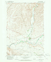
1966 · Touchet
USGS Topo · 1:24,000
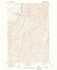
1966 · Rulo
USGS Topo · 1:24,000
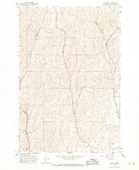
1966 · Hadley
USGS Topo · 1:24,000