
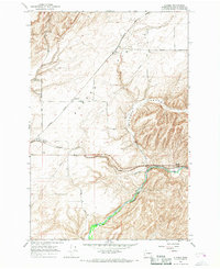
1966 Map of Hadley
USGS Topo · Published 1967About this map
The agricultural economy of Walla Walla County is clearly defined on this mid-century survey, where the Union Pacific and Northern Pacific railroads serve as the primary lifelines for rural outposts. Small rail stops and settlements like Hadley, Climax, and Berryman are marked by their proximity to infrastructure critical for grain transport, including several Grain Elevators and Storage Bins scattered along the tracks. The landscape is characterized by its rolling topography, drained to the south by Dry Creek and its tributary Spring.
Find a feature on this map
18 named features on this map. Tap any name to fly to it.
Don’t see what you’re looking for? This feature index may not catch every label — zoom into the map to look around manually.
Map Details
Editions of this 1966 Hadley Map
This is the sole edition of this map. No revisions or reprints were ever made.
Other maps of this area

1915 · Wallulah
USGS Topo · 1:96,000

1918 · Wallula
USGS Topo · 1:125,000

1919 · Walla Walla
USGS Topo · 1:125,000

1921 · Walla Walla
USGS Topo · 1:125,000

1953 · Walla Walla
USGS Topo · 1:250,000

1958 · Walla Walla
USGS Topo · 1:250,000

1966 · Rulo
USGS Topo · 1:24,000

1966 · Valley Grove
USGS Topo · 1:24,000
1966 · Eureka
USGS Topo · 1:24,000
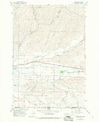
1966 · Lowden
USGS Topo · 1:24,000