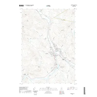
2021 Map of Rumford
USGS Topo · Published 2021About this map
The Androscoggin River flows through a valley defined by significant peaks, including Glass Face Mtn and North Twin Mtn, where the industrial and residential centers of Rumford, Mexico, and Ridlonville converge. This area is characterized by the confluence of the Swift River and the larger Androscoggin, a geography that historically supported the development of Rumford Falls and the surrounding mill towns.
Find a feature on this map
105 named features on this map. Tap any name to fly to it.
Don’t see what you’re looking for? This feature index may not catch every label — zoom into the map to look around manually.
Map Details
Editions of this 2021 Rumford Map
This is the sole edition of this map. No revisions or reprints were ever made.
Other maps of this area

1911 · Bryant Pond
USGS Topo · 1:62,500

1911 · Buckfield
USGS Topo · 1:62,500

1913 · Buckfield
USGS Topo · 1:62,500

1914 · Bryant Pond
USGS Topo · 1:62,500

1926 · Dixfield
USGS Topo · 1:62,500

1927 · Rumford
USGS Topo · 1:48,000

1929 · Dixfield
USGS Topo · 1:62,500

1930 · Rumford
USGS Topo · 1:62,500

1942 · Buckfield
USGS Topo · 1:62,500

1942 · Bryant Pond
USGS Topo · 1:62,500