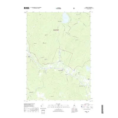
2018 Map of Rumney
USGS Topo · Published 2018About this map
White Mountain National Forest lands dominate the northern landscape of this Grafton County region, where the steep slopes of Stinson Mtn and Carr Mtn overlook the village of Stinson Lake. The Baker River carves a fertile valley to the south, serving as the primary corridor for settlement and transportation. Along this waterway, the communities of Rumney, Rumney Depot, and Quincy are connected by a network of local roads including Stinson Lake Rd and Quincy Rd.
Find a feature on this map
56 named features on this map. Tap any name to fly to it.
Don’t see what you’re looking for? This feature index may not catch every label — zoom into the map to look around manually.
Map Details
Editions of this 2018 Rumney Map
This is the sole edition of this map. No revisions or reprints were ever made.
Other maps of this area

1925 · Holderness
USGS Topo · 1:62,500

1927 · Holderness
USGS Topo · 1:62,500

1927 · Cardigan
USGS Topo · 1:62,500

1928 · Plymouth
USGS Topo · 1:62,500

1928 · Rumney
USGS Topo · 1:62,500

1930 · Cardigan
USGS Topo · 1:62,500

1931 · Plymouth
USGS Topo · 1:62,500

1932 · Rumney
USGS Topo · 1:62,500

1949 · Portland
USGS Topo · 1:250,000

1956 · Cardigan
USGS Topo · 1:62,500