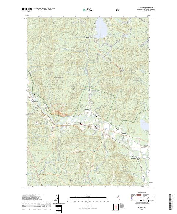
2024 Map of Rumney
USGS Topo · Published 2024About this map
The Baker River valley defines this part of the White Mountain National Forest, where a network of historic settlements like Rumney, West Rumney, and Quincy follow the lowlands beneath towering peaks. To the north, the landscape rises sharply toward Stinson Mtn and Carr Mountain, centered around the mountain-bound waters of Stinson Lake. This recent data reflects a transition in transport and land use, where the once-vital rail corridor is now preserved as the inactive RR Trl, and local travel relies on routes like the Route 25 Plain Jane's Diner Trl. Genealogists will find several distinct burial sites across the valley floor, including Sandhill Cem near the river and the dual plots of Highland Cem North and Highland Cem South. From the high ledge of Eagle Cliff to the specialized landing at Plymouth Municipal Airport, the map records a balance of preserved wilderness and enduring rural habitation.
Find a feature on this map
60 named features on this map. Tap any name to fly to it.
Don’t see what you’re looking for? This feature index may not catch every label — zoom into the map to look around manually.
Map Details
Editions of this 2024 Rumney Map
This is the sole edition of this map. No revisions or reprints were ever made.
Other maps of this area

1925 · Holderness
USGS Topo · 1:62,500

1927 · Holderness
USGS Topo · 1:62,500

1927 · Cardigan
USGS Topo · 1:62,500

1928 · Plymouth
USGS Topo · 1:62,500

1928 · Rumney
USGS Topo · 1:62,500

1930 · Cardigan
USGS Topo · 1:62,500

1931 · Plymouth
USGS Topo · 1:62,500

1932 · Rumney
USGS Topo · 1:62,500

1949 · Portland
USGS Topo · 1:250,000

1956 · Cardigan
USGS Topo · 1:62,500