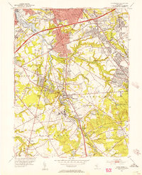
1952 Map of Runnemede
USGS Topo · Published 1954About this map
Big Timber Creek and its winding branches define this suburbanizing corridor of South Jersey in the early 1950s. The map captures the intersection of major transit routes including the New Jersey Turnpike, Black Horse Pike, and the Pennsylvania-Reading Seashore Lines. Development is concentrated in established boroughs like Runnemede and Haddon Heights, while the southern reaches near Hurffville School and Bethel Lake retain a more open character. Notable institutional sites are scattered throughout, from the Mother of the Savior Seminary and County Hospitals to the Blackwood Airfield. This era shows a landscape in transition, where new residential blocks like Garden Lake and Osage begin to fill the gaps between historic creek-side settlements like Clements Bridge and Almonesson.
Find a feature on this map
105 named features on this map. Tap any name to fly to it.
Don’t see what you’re looking for? This feature index may not catch every label — zoom into the map to look around manually.
Map Details
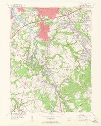
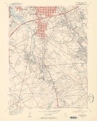
Editions of this 1952 Runnemede Map
3 editions found
Other maps of this area

1888 · Mount Holly
USGS Topo · 1:62,500

1890 · Hammonton
USGS Topo · 1:62,500

1890 · Glassboro
USGS Topo · 1:62,500

1891 · Philadelphia
USGS Topo · 1:62,500

1894 · Hammonton
USGS Topo · 1:62,500

1894 · Mount Holly
USGS Topo · 1:62,500

1894 · Philadelphia
USGS Topo · 1:62,500

1896 · Philadelphia
USGS Topo · 1:62,500

1898 · Glassboro
USGS Topo · 1:62,500

1898 · Philadelphia
USGS Topo · 1:62,500
Featured Places
- Cherry Hill Township, NJ
- Washington Township, NJ
- Deptford Township, NJ
- Voorhees Township, NJ
- Lindenwold, NJ