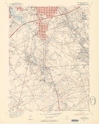
1952 Map of Runnemede
USGS Topo · Published 1954About this map
Big Timber Creek and its many branches, including Chews Branch and Pines Run, define the rolling landscape of this mid-century New Jersey suburban corridor. The map captures a moment of significant infrastructure expansion, notably featuring the New Jersey Turnpike slicing through Runnemede and Barrington alongside established thoroughfares like the Black Horse Pike. This era shows a transition from rural clusters to denser residential developments, yet retains significant institutional footprints such as the Mother of the Savior Seminary, the General Hospital, and the County Jail near Grenloch. Local aviation is well-represented by the Echelon Airport and Blackwood Airfield, while the rail network of the Pennsylvania-Reading Seashore Lines remains a vital connection for communities like Lawnside and Ashland.
Find a feature on this map
107 named features on this map. Tap any name to fly to it.
Don’t see what you’re looking for? This feature index may not catch every label — zoom into the map to look around manually.
Map Details
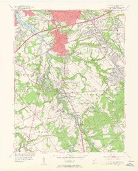
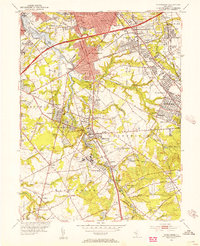
Editions of this 1952 Runnemede Map
3 editions found
Other maps of this area

1888 · Mount Holly
USGS Topo · 1:62,500

1890 · Hammonton
USGS Topo · 1:62,500

1890 · Glassboro
USGS Topo · 1:62,500

1891 · Philadelphia
USGS Topo · 1:62,500

1894 · Hammonton
USGS Topo · 1:62,500

1894 · Mount Holly
USGS Topo · 1:62,500

1894 · Philadelphia
USGS Topo · 1:62,500

1896 · Philadelphia
USGS Topo · 1:62,500

1898 · Glassboro
USGS Topo · 1:62,500

1898 · Philadelphia
USGS Topo · 1:62,500
Featured Places
- Cherry Hill Township, NJ
- Washington Township, NJ
- Deptford Township, NJ
- Voorhees Township, NJ
- Lindenwold, NJ