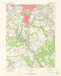
1952 Map of Runnemede
USGS Topo · Published 1954About this map
Big Timber Creek and its complex network of tributaries define the landscape of south Jersey in the early 1950s, serving as the historical boundary between Gloucester and Camden counties. This survey captures a pivotal moment of suburban expansion, where established centers like Runnemede, Haddon Heights, and Bellmawr are increasingly linked by major infrastructure, including the newly constructed New Jersey Turnpike and the prominent Black Horse Pike.
Find a feature on this map
103 named features on this map. Tap any name to fly to it.
Don’t see what you’re looking for? This feature index may not catch every label — zoom into the map to look around manually.
Map Details
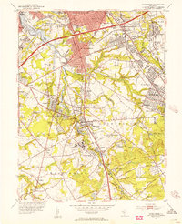
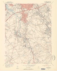
Editions of this 1952 Runnemede Map
3 editions found
Other maps of this area

1888 · Mount Holly
USGS Topo · 1:62,500

1890 · Hammonton
USGS Topo · 1:62,500

1890 · Glassboro
USGS Topo · 1:62,500

1891 · Philadelphia
USGS Topo · 1:62,500
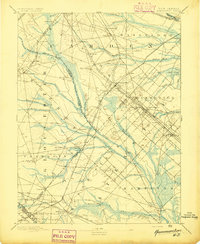
1894 · Hammonton
USGS Topo · 1:62,500
1894 · Mount Holly
USGS Topo · 1:62,500

1894 · Philadelphia
USGS Topo · 1:62,500

1896 · Philadelphia
USGS Topo · 1:62,500
1898 · Glassboro
USGS Topo · 1:62,500
1898 · Philadelphia
USGS Topo · 1:62,500
Featured Places
- Cherry Hill Township, NJ
- Washington Township, NJ
- Deptford Township, NJ
- Voorhees Township, NJ
- Lindenwold, NJ