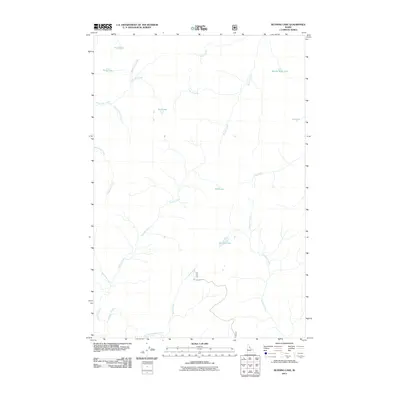
2011 Map of Running Lake
USGS Topo · Published 2011About this map
Running Lake and Bilk Lake sit at the center of a drainage network defined by high-altitude basins and steep watercourses. This 2011 survey illustrates a landscape primarily shaped by glacial remnants and hydrologic movement, where names like Square Rock Lake and Goat Lake suggest the physical character of the Idaho County backcountry. A complex system of tributaries, including Schuar Creek, Marten Creek, and Running Creek, feeds the larger basins. Human infrastructure is nearly absent from this area, with the exception of the remote Elk Mountain Rd, which provides limited access into the high country. For the geographer or local researcher, the map preserves the exact naming of small features such as Spook Creek and Vermilion Creek as they were recorded in the early 21st century.
Find a feature on this map
22 named features on this map. Tap any name to fly to it.
Don’t see what you’re looking for? This feature index may not catch every label — zoom into the map to look around manually.
Map Details
Editions of this 2011 Running Lake Map
This is the sole edition of this map. No revisions or reprints were ever made.
Other maps of this area

1911 · Lolo
USGS Topo · 1:250,000

1913 · Lolo
USGS Topo · 1:250,000

1956 · Elk City
USGS Topo · 1:250,000

1956 · Hamilton
USGS Topo · 1:250,000

1959 · Hamilton
USGS Topo · 1:250,000

1960 · Elk City
USGS Topo · 1:250,000

1960 · Hamilton
USGS Topo · 1:250,000

1964 · Hamilton
USGS Topo · 1:250,000

1966 · Moose Ridge
USGS Topo · 1:24,000

1966 · Green Mtn.
USGS Topo · 1:24,000