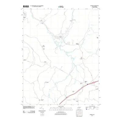
2011 Map of Rupert
USGS Topo · Published 2011About this map
Meadow River meanders through the heart of this Greenbrier County landscape, connecting a network of traditional West Virginia settlements and mountain hollows. The town of Rupert stands as a central hub, surrounded by smaller communities such as Hines, Crawley, and Meadow Bluff. Traces of the region's historical connectivity are evident in the path of the Old Kanawha Tpke and the presence of numerous local post offices, including the Hines Post Office and Smoot Post Office. The terrain is defined by significant elevations like Little Sewell Mountain and Goddard Mountain, while the valleys are carved by water bodies such as Big Clear Creek and Little Sewell Creek. Local history is anchored by landmarks like the Brown School and the uniquely named At the End of the Trail Cemetery near the southern edge of the quadrangle.
Find a feature on this map
58 named features on this map. Tap any name to fly to it.
Don’t see what you’re looking for? This feature index may not catch every label — zoom into the map to look around manually.
Map Details
Editions of this 2011 Rupert Map
This is the sole edition of this map. No revisions or reprints were ever made.
Other maps of this area

1887 · Hinton
USGS Topo · 1:125,000

1889 · Nicholas
USGS Topo · 1:125,000

1891 · Nicholas
USGS Topo · 1:125,000

1892 · Hinton
USGS Topo · 1:125,000

1901 · Nicholas
USGS Topo · 1:125,000

1912 · Meadow Creek
USGS Topo · 1:48,000

1914 · Winona
USGS Topo · 1:48,000

1915 · Meadow Creek
USGS Topo · 1:62,500

1916 · Winona
USGS Topo · 1:62,500

1918 · Richwood
USGS Topo · 1:62,500