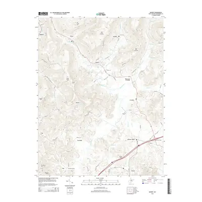
2014 Map of Rupert
USGS Topo · Published 2014About this map
Meadow River meanders through this portion of Greenbrier County, anchoring a landscape where small settlements like McRoss and Hines developed along the winding Us-60 corridor. The terrain is defined by significant ridges, including Mill Creek Mtn and Big Clear Creek Mtn, which separate the various creek branches that feed the river system. Near Meadow Bluff, the land opens slightly at the junction of Otter Cr and Methodist Br, a location historically significant for local travel and commerce.
Find a feature on this map
85 named features on this map. Tap any name to fly to it.
Don’t see what you’re looking for? This feature index may not catch every label — zoom into the map to look around manually.
Map Details
Editions of this 2014 Rupert Map
This is the sole edition of this map. No revisions or reprints were ever made.
Other maps of this area

1887 · Hinton
USGS Topo · 1:125,000

1889 · Nicholas
USGS Topo · 1:125,000

1891 · Nicholas
USGS Topo · 1:125,000

1892 · Hinton
USGS Topo · 1:125,000

1901 · Nicholas
USGS Topo · 1:125,000

1912 · Meadow Creek
USGS Topo · 1:48,000

1914 · Winona
USGS Topo · 1:48,000

1915 · Meadow Creek
USGS Topo · 1:62,500

1916 · Winona
USGS Topo · 1:62,500

1918 · Richwood
USGS Topo · 1:62,500