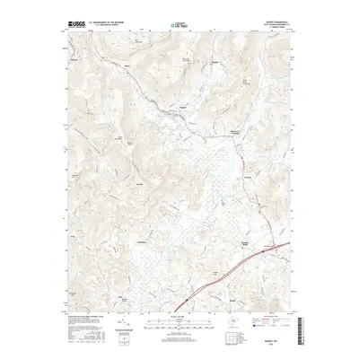
2016 Map of Rupert
USGS Topo · Published 2016About this map
The Meadow River basin and its surrounding heights define this portion of Greenbrier County, where the historic James River and Kanawha Tpke once carried travelers through the Appalachian terrain. The community of Rupert sits at a significant crossroads, where the Midland Trl intersects local routes leading toward Kessler and Hines. The landscape is a mix of high ridges like Big Clear Creek Mtn and low-lying wetland pockets along Little Clear Cr.
Find a feature on this map
92 named features on this map. Tap any name to fly to it.
Don’t see what you’re looking for? This feature index may not catch every label — zoom into the map to look around manually.
Map Details
Editions of this 2016 Rupert Map
This is the sole edition of this map. No revisions or reprints were ever made.
Other maps of this area

1887 · Hinton
USGS Topo · 1:125,000

1889 · Nicholas
USGS Topo · 1:125,000

1891 · Nicholas
USGS Topo · 1:125,000

1892 · Hinton
USGS Topo · 1:125,000

1901 · Nicholas
USGS Topo · 1:125,000
1912 · Meadow Creek
USGS Topo · 1:48,000
1914 · Winona
USGS Topo · 1:48,000
1915 · Meadow Creek
USGS Topo · 1:62,500
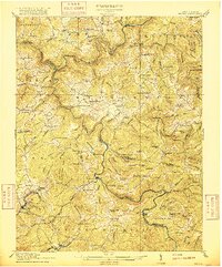
1916 · Winona
USGS Topo · 1:62,500
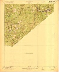
1918 · Richwood
USGS Topo · 1:62,500