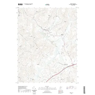
2019 Map of Rupert
USGS Topo · Published 2019About this map
Meadow River and its intricate network of tributaries like Little Clear Creek and Methodist Branch dominate this portion of Greenbrier County. The landscape is defined by the historic travel corridors of the Old Kanawha Tpke and the James River and Kanawha Tpke, which trace the winding topography through the Appalachian highlands. The town of Rupert serves as a central hub, surrounded by smaller settlements such as Hines, Meadow Bluff, and Shawvers Crossing.
Find a feature on this map
93 named features on this map. Tap any name to fly to it.
Don’t see what you’re looking for? This feature index may not catch every label — zoom into the map to look around manually.
Map Details
Editions of this 2019 Rupert Map
This is the sole edition of this map. No revisions or reprints were ever made.
Other maps of this area

1887 · Hinton
USGS Topo · 1:125,000

1889 · Nicholas
USGS Topo · 1:125,000

1891 · Nicholas
USGS Topo · 1:125,000

1892 · Hinton
USGS Topo · 1:125,000

1901 · Nicholas
USGS Topo · 1:125,000

1912 · Meadow Creek
USGS Topo · 1:48,000

1914 · Winona
USGS Topo · 1:48,000

1915 · Meadow Creek
USGS Topo · 1:62,500

1916 · Winona
USGS Topo · 1:62,500

1918 · Richwood
USGS Topo · 1:62,500