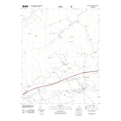
2011 Map of Rural Retreat
USGS Topo · Published 2011About this map
Rural Retreat serves as the primary hub for this portion of Wythe County, situated near the headwaters of the Middle Fork Holston River and Reed Creek. The landscape is a mosaic of narrow valleys and ridges, characterized by family-named landmarks such as Ann Grubb Hollow, Tickle Pink Hollow, and Pickle Hollow. These names, alongside numerous small burial grounds like Floglesong Cemetery and Steffey Cemetery, provide a window into the ancestral settlement patterns of the region.
Find a feature on this map
77 named features on this map. Tap any name to fly to it.
Don’t see what you’re looking for? This feature index may not catch every label — zoom into the map to look around manually.
Map Details
Editions of this 2011 Rural Retreat Map
This is the sole edition of this map. No revisions or reprints were ever made.
Other maps of this area

1887 · Pocahontas
USGS Topo · 1:125,000

1889 · Wytheville
USGS Topo · 1:125,000

1891 · Pocahontas
USGS Topo · 1:125,000

1892 · Wytheville
USGS Topo · 1:125,000

1894 · Pocahontas
USGS Topo · 1:125,000

1895 · Pocahontas
USGS Topo · 1:125,000

1930 · Speedwell
USGS Topo · 1:62,500

1931 · Rural Retreat
USGS Topo · 1:48,000

1935 · Nebo
USGS Topo · 1:24,000

1935 · Cedar Springs
USGS Topo · 1:24,000